Yellow warning issued for heavy rain covering Peterborough this week as flood alerts remain in place


The Met office yellow warning for heavy rain is in place from Tuesday morning (January 19) to Thursday evening.
The yellow warning states that: “Spells of prolonged and heavy rain may lead to flooding and disruption to travel in places.”
Advertisement
Hide AdAdvertisement
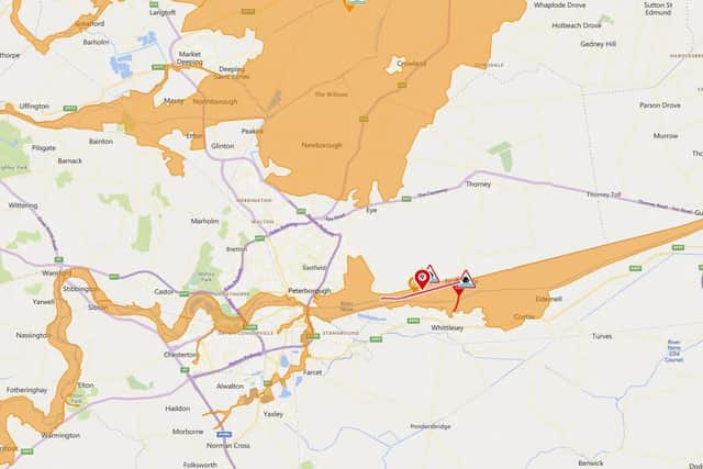
Hide AdThe rain alert comes as the Environment Agency placed a flood warning on the North Bank Road alongside the River Nene, east of Peterborough and west of Dog-in-a-Doublet Sluice.
The warning said: “Heavy rain has fallen over the River Nene catchment over the past few days.
“During periods of high tide the river will be unable to discharge into the sea, resulting in tide lock conditions. This is likely to lead to localised flooding at North Bank Road. Whilst the Flood Warning is in force, the Local Authority will close North Bank Road.
“Diversionary routes will be put in place and further updates will be available through local media.
Advertisement
Hide AdAdvertisement
Hide Ad“This Flood Warning is expected to stay in force for several days until tide lock conditions improve. Please follow diversionary routes until the local authority re-open the road. We are operating the Dog-in-a-Doublet sluice to discharge water during low tide, and reduce the flood risk as much as possible.”
Flood alerts - a lower level warning meaning flooding is possible - also remain in place for the Lower River Nene and Lower River Welland in the Peterborough area.
The Flood alert on the Lower Nene said that low-lying paths should be avoided but that flooding to properties was not likely, it said: “River levels remain high, which has already led to flooding of low lying land and roads close to the river.
“We expect the river to remain high throughout today and for the next few days.
Advertisement
Hide AdAdvertisement
Hide Ad“Our forecasts indicate that flooding to properties is not likely and therefore flood warnings are not expected to be issued.
“Please avoid using low lying footpaths near local watercourses and plan driving routes to avoid low lying roads near rivers, which may be flooded. We are constantly monitoring river levels, and have staff in the field checking for blockages and clearing weedscreens.”
A similar warning covering the Lower Welland said: “River levels remain high, which has led to flooding of low lying land and roads close to the river.
“We expect the river to remain high throughout today and for the next few days.
“Our forecasts indicate that flooding to properties is not likely and therefore flood warnings are not expected to be issued.”
Comment Guidelines
National World encourages reader discussion on our stories. User feedback, insights and back-and-forth exchanges add a rich layer of context to reporting. Please review our Community Guidelines before commenting.