
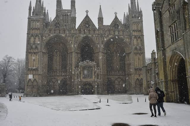
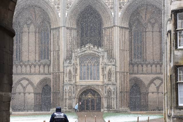
Peterborough very rarely gets snow - but could the polar vortex change that towards the end of November?

Here we take a closer look at what the polar vortex actually is and what it could mean for the city’s weather over the coming weeks
At this time of year we’re inundated with sensationalist headlines that claim heavy snowfall is on the way, but the reality is often very different.
Much to the disappointment of many residents, Peterborough rarely sees significant snow due to its low-lying geography, dry climate, and position in the southern part of the country.
The city sits only 10 to 15 meters above sea level, and because the surface is so low relative to the freezing level, falling snow typically has too much warm air to pass through before it reaches the ground, causing it to melt into rain or sleet.
But there are signs that 2026 might be different thanks to events far away in the Arctic.
Why has the polar vortex been mentioned in the news so much recently?
The polar vortex has already attracted attention this November because of an unusually early disruption high above the Arctic.
According to the Met Office, the stratospheric polar vortex has become significantly disturbed, with temperatures rising in the polar stratosphere and the powerful westerly winds surrounding it weakening.

Forecast models have suggested that these winds could briefly reverse direction, potentially meeting the criteria for a major Sudden Stratospheric Warming (SSW) event.
Such an event is particularly unusual so early in the season and the Met Office has explained that the disruption could eventually influence the jet stream and increase the likelihood of colder weather developing across parts of Europe, including the UK.
However, there is still considerable uncertainty about how strongly the changes will affect temperatures at ground level.
Could all this result in a snowy end to November for Peterborough?
One possible outcome for Peterborough is a gradual transition towards colder conditions as November progresses.
If the disrupted polar vortex influences the jet stream, the UK could become more exposed to winds arriving from the north or east.
These winds would potentially bring colder air towards eastern England, resulting in lower daytime temperatures and much colder nights.
A weakened polar vortex can encourage atmospheric blocking, allowing colder air to move southwards from Arctic regions.
If high pressure becomes established over Scandinavia, easterly winds could develop across the UK.
This would be particularly interesting for Peterborough because easterly winds can bring cold air across the North Sea.
Depending on the temperature difference between the sea and the atmosphere, showers could develop and move inland towards Peterborough.
However, a different atmospheric setup could leave Peterborough experiencing relatively mild and unsettled weather, with Atlantic weather systems continuing to bring cloud, rain and breezy conditions.
The Met Office has also highlighted that the effects of a sudden stratospheric warming can take several weeks to reach the lower atmosphere, making the timing particularly difficult to establish.
For Peterborough, the possibility of colder weather, overnight frost and perhaps some wintry precipitation cannot be ruled out as November draws to a close.
The most important factor will be whether the changes taking place high above the Arctic eventually influence the jet stream sufficiently to allow colder air to reach eastern England.
For now, residents should not assume that a major snow event is on the way. A colder spell is possible, but the exact timing, intensity and duration remain uncertain.