These are Peterborough’s 18 most high risk flooding hotspots

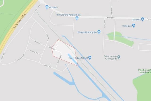
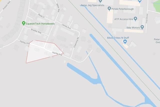
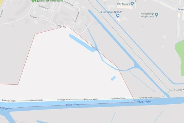
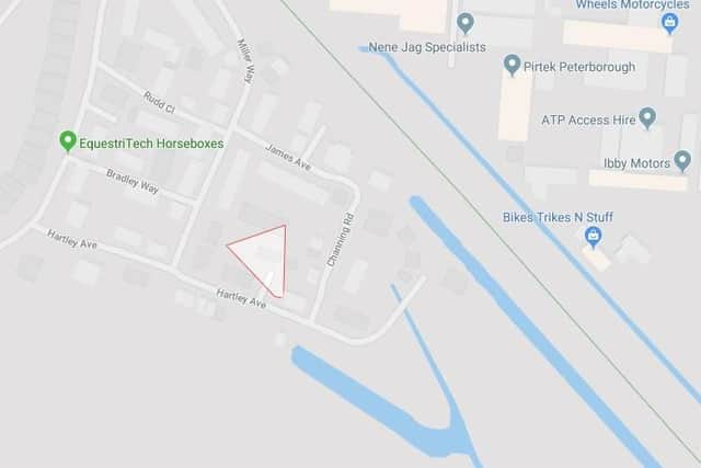
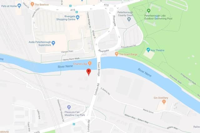
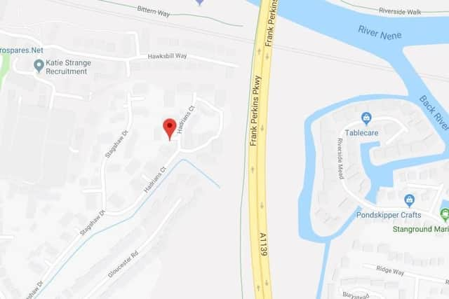
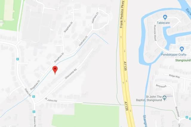
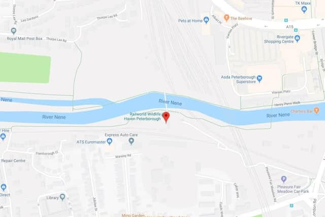
Here are the 18 areas of Peterborough which have been identified as most at risk of surface water flooding.

The at-risk areas are listed on Get The Data and are identified by postcode, showing the level of risk, suitability and if the flooding poses a risk to insurance. The data is taken using a single point within each postcode using Open Postcode Geo, identifying the flood risk area which that point falls within. There maybe other points within the postcode which fall into a different area, and hence have a different risk level.
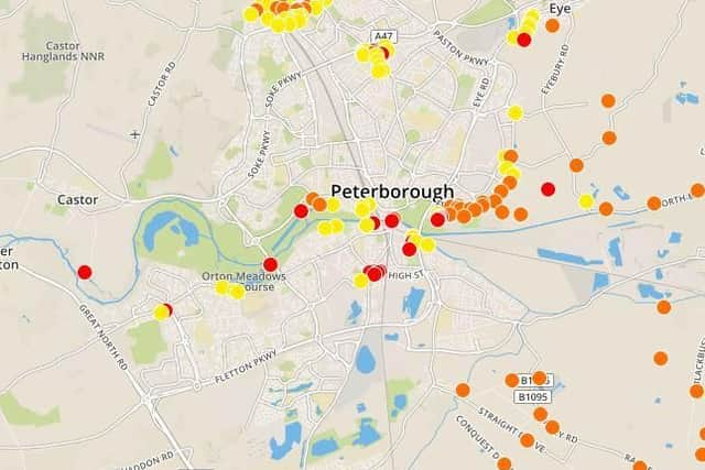
Mapplaceholder image
Map
Risk: High. Suitability: Town to Street. Risk for insurance: Yes.placeholder image
Risk: High. Suitability: Town to Street. Risk for insurance: Yes.
Risk: High. Suitability: Town to Street. Risk for insurance: Yes.placeholder image
Risk: High. Suitability: Town to Street. Risk for insurance: Yes.
Risk: High. Suitability: Town to Street. Risk for insurance: Yes.placeholder image
Risk: High. Suitability: Town to Street. Risk for insurance: Yes.
Risk: High. Suitability: Town to Street. Risk for insurance: Yes.placeholder image
Risk: High. Suitability: Town to Street. Risk for insurance: Yes.
Risk: High. Suitability: County to Town. Risk for insurance: Yes.placeholder image
Risk: High. Suitability: County to Town. Risk for insurance: Yes.
Risk: High. Suitability: National to County. Risk for insurance: Yes.placeholder image
Risk: High. Suitability: National to County. Risk for insurance: Yes.
Risk: High. Suitability: Town to Street. Risk for insurance: Yes.placeholder image
Risk: High. Suitability: Town to Street. Risk for insurance: Yes.
Risk: High. Suitability: National to County. Risk for insurance: Yes.placeholder image
Risk: High. Suitability: National to County. Risk for insurance: Yes.
Related topics:
News you can trust since 1948
Follow us
© 2026 Iconic Media Group Ltd. All rights reserved.Cookie SettingsTerms and ConditionsPrivacy notice