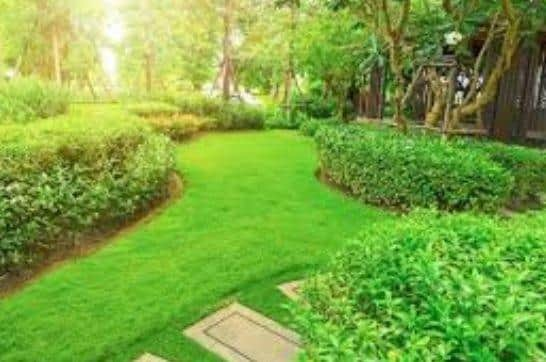
The places in Peterborough with the highest and lowest percentages of gardens
and live on Freeview channel 276
The data has also revealed the breakdown of different areas in Peterborough, with Central ward coming at the bottom and two areas (Longthorpe and Netherton and Orton West and Castor) coming top.
There is also a wide variety in the average size of the outdoor space, with Barnack, Wittering & Wansford residents able to enjoy far bigger gardens than people living in Orton Malborne and Goldhay, as the data shows:
Advertisement
Hide AdAdvertisement
Hide AdCentral - 78% (properties with shared outdoor space), 168.8 (average size of the shared outdoor space in m2)

Fletton - 84%, 187.1
Bretton Park - 92%, 154
Fengate & Parnwell - 92%, 201.1
West Town & Woodston - 92%, 177.2
Orton Malborne & Goldhay - 92%, 107.9
Millfield & Bourges Boulevard - 93%, 147.8
Walton - 94%, 283.8
Central Park - 94%, 236.9
Eye & Thorney - 95%, 411.3
Hampton Vale - 95%, 145.1
Werrington - 96%, 188.8
Barnack, Wittering & Wansford - 96%, 587.5
Glinton, Northborough & Maxey - 97%, 480.1
Paston - 97%, 145.6
North Bretton & Westwood - 97%, 108.2
Hargate & Orton Longueville - 97%, 230.3
Newborough & Peakirk - 98%, 360.7
Dogsthorpe - 98%, 228.7
Stanground - 98%, 199.2
Longthorpe & Netherton - 99%, 412.8
Orton West & Castor - 99%, 376.3