


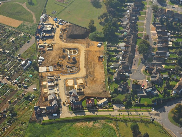
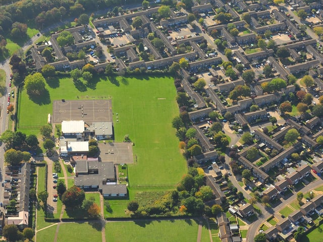
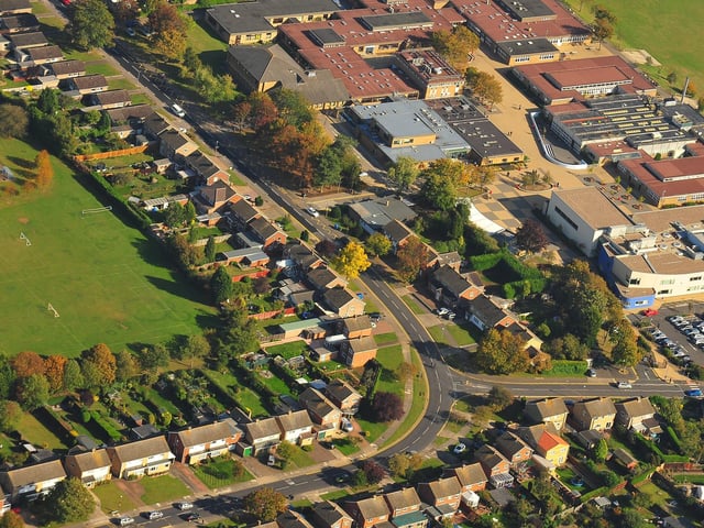
The images give us all a different view of the city we live in – one that we would never normally be able to see.
But before drones were readily available, The Peterborough Telegraph took to the skies to get those images – using a plane.
These pictures were taken in 2011, and show how much the city has changed in the past 15 years.
See what you can recognise – and if you can spot your house!
42. Peterborough from the skies
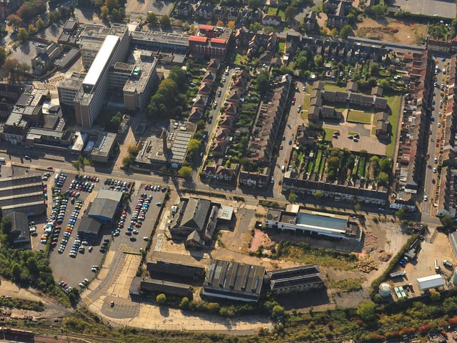
Midland Road including the Peterborough District Hospital site Photo: David Lowndes
11 / 17