Looking back: More amazing aerial images of Peterborough from the past
By Nigel Thornton
Published 31st May 2021, 07:22 BST
Updated 31st May 2021, 15:29 BST
This week we take another look back at some fascinating aerial images of Peterborough’s past.
From fascinating views of the city centre before Queensgate was built to new bypasses and housing under construction.
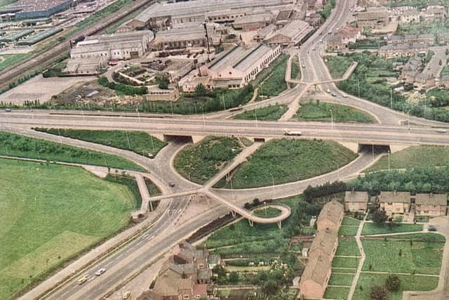
The Lincoln Road/Soke Parkway interchange is one of the city’s busiest, most recognisable and controversial road junctions.
Peterborough has changed over the decades and as some of these pictures show, continues to change.
Do you think things have changed for the better? What landmarks do you miss?
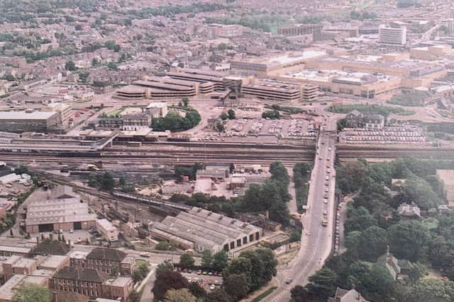
Here’s an aerial shot of Thorpe Road - one of the main arteries into Peterborough city centre. You can see Crescent Bridge over the railway line heading to Queensgate roundabout.
If you have any pictures of Peterborough people and places from the past and you’d like to share them with Looking Back readers, send them to [email protected]
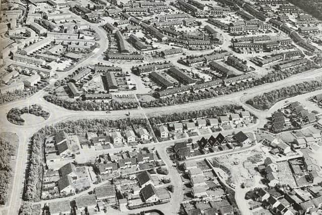
This aerial photograph shows Bretton in the 1970s. It was the first township to be completed and the housing was designed with many cul de sacs.
Watergall School is in the top left of the image. The main road is Bretton Way with the road off from the roundabout (bottom left) heading towards the crematorium and Marholm. The estates of Dunsberry, Gullymore (the distinctive homes with pointed roofs in the centre of the picture), Stumpacre and Kirkmeadow are all in the picture too.
In the top right hand there are the woods of Bretton park and beyond that, out of shot, is Bretton Centre.
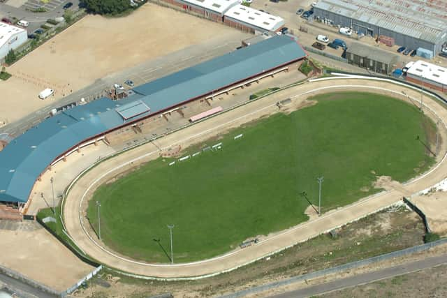
An aerial picture of Peterborough Greyhound Stadium taken around 2009.