
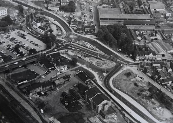

From fascinating views of the city centre before Queensgate was built to Ferry Meadows construction.
Peterborough has changed over the decades and as some of these pictures show, continues to change.
Do you think things have changed for the better? What landmarks do you miss?
If you have any pictures of Peterborough people and places from the past and you’d like to share them with Looking Back readers, send them to [email protected]
5.
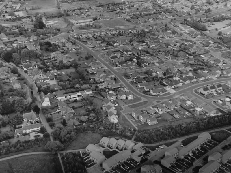
This ariel photograph is a view of Orton Waterville taken in June 1982. One of the originals villages of the Ortons, it once had its own railway station. It has seen much development since the new town expansion. Photo: Midlands
6.
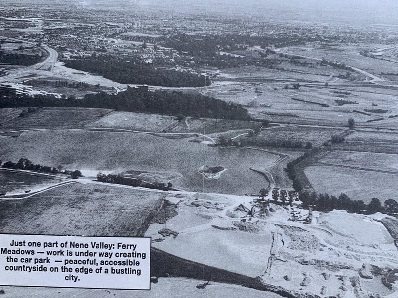
Nene Park was created in the 1970s as part of Peterborough’s New Town expansion. It covers 2,000 acres stretching six miles from the centre of Peterborough west towards the A1. The pictures shows a car park under construction at Ferry Meadows. Photo: Midlands
7.
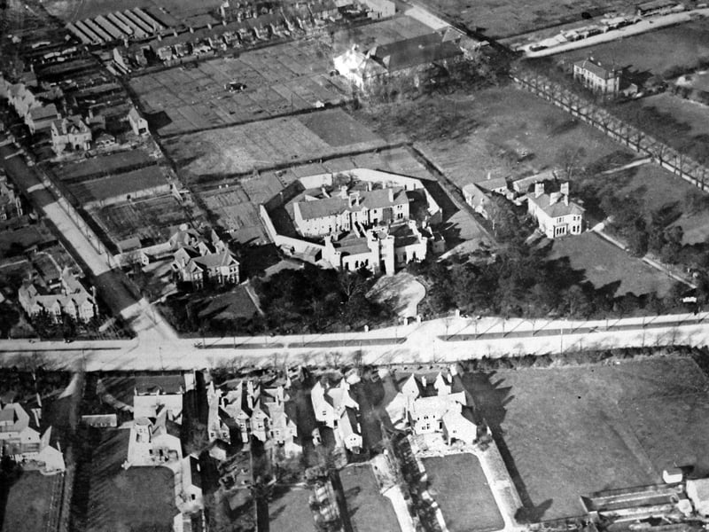
The Sessions house off Thorpe Road aerial picture taken before the district hospital was built.
8.
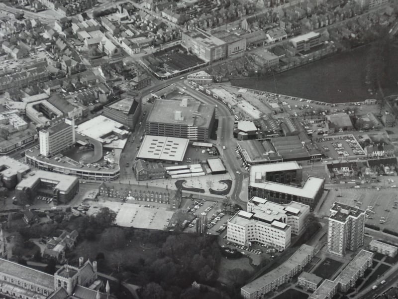
Here’s a great view of thecity centre possibly from the 70s. You can see the market, the passport office, St Mary’s flats and Hereward centre. The area has seen many change sover the years with the demoliton of Northminster multi-storey car park being the latest. Photo: Peterborough Evening Telegraph