Snow: What the weather forecast holds for Peterborough - and why the city never appears to get much of the white stuff
and live on Freeview channel 276
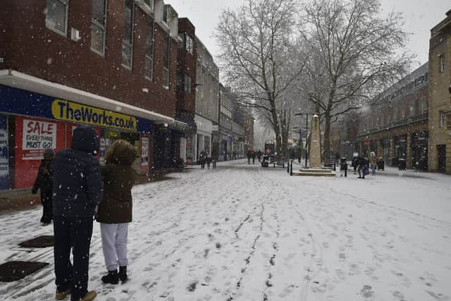
Snow has arrived in the UK this week, with the first flurries of 2024 hitting England on Monday – including in London.
But while weather warnings were issued for part of Cambridgeshire – and cold weather staying in Peterborough – the city looks set to avoid a dusting, for now at least.
Advertisement
Hide AdAdvertisement
Hide AdResidents – and especially school children looking for a day playing in the snow – often wonder why Peterborough appears to avoid the worst of the wintery weather.

Meteorologist Trevor Robbins-Pratt, from Peterborough Weather Watch, said the reason for the city missing the latest batch of cold weather was because of the location of low pressure elsewhere on the continent.
He said: “The current risk of wintry/snow showers is to the South of Peterborough and particularly for the SE of the UK, and not for this area, is because we are being influenced by an area of High Pressure, whereas further South, the feed of wintry/snow showers, is being influenced by lower pressure across Europe.”
While the current situation is impacted more by the location of the low pressure in Europe, it was another geographical feature that meant Peterborough missed the snow normally.
Advertisement
Hide AdAdvertisement
Hide AdTrevor said: “Generally when we have bands of sleet and snow, pushing E/NE from the W/SW, on many occasions, the precipitation will fall as rain in these parts, due to us being not that much above sea level, hence a lot of distance between the surface and the 0°C isotherm (the altitude where the temperature is at freezing point), meaning the snow melts on its way down before it gets here. I have jokingly called it Peterborough's 'Bermuda Triangle', as the snow seems to just disappear."
However, Peterborough might not avoid the snow completely in the near future. Trevor said: “It looks like it will get a little milder by end if the week, but next week could bring a greater threat of something more interesting!”
For next week, the Met Office have issued a long range forecast for the whole country, which says: “Cloud, with patchy light rain clearing central and southern areas initially.
Advertisement
Hide AdAdvertisement
Hide Ad"Thereafter, turning colder from the North, with brisk northerly winds likely developing widely across of the UK, bringing a risk of snow showers, most frequent across the north. Temperatures remaining cold, and a marked wind chill especially in the north.
"There is risk of unsettled weather pushing in from the south through this period, which could lead to a band of snow and sleet where it meets the colder air across the country.
"Confidence is low with regards the timing of the arrival of any such disturbance, but there is an increasing risk of something potentially disruptive at some point in this period. Widespread frosts continue to be a feature by night, with a risk of ice in places.”